The Pulse
Ai2 and Taylor Geospatial partner on open geospatial AI tools
The partnership will bring together model benchmarks, an Earth-observation model family and an agricultural field-mapping project. The organizations say their outputs will be free to use under open licenses.
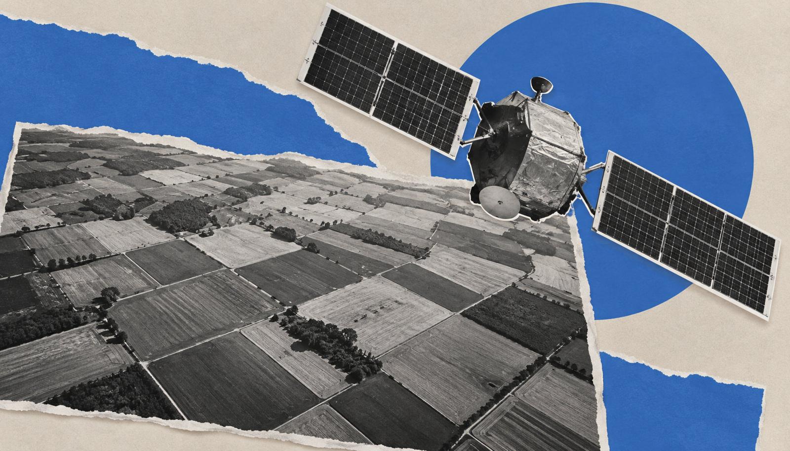
Ai2 and Taylor Geospatial are joining forces to develop open resources for comparing and using AI models built for Earth-observation data. The partnership brings together a benchmarking effort, Ai2’s OlmoEarth model family and a project mapping agricultural field boundaries from satellite imagery, according to an Ai2 post published November 18.
Source allenai.org
Ai2 says everything the partnership produces, including datasets, benchmarks and model weights, will be free to use under open licenses on Source Cooperative and GitHub. The organizations announced the partnership at SatSummit in St. Louis.
Comparing models
Benchmarks of The World is intended to help users compare geospatial AI models. The partnership is aimed at practitioners and policymakers working in conservation, agriculture and humanitarian fields.
An October audit by Taylor Geospatial examined 152 geospatial foundation model papers from 2019–2025 and concluded that their published results did not support reliable comparisons across the literature. The organization found that roughly 40% of the papers released no model weights; it also counted over 400 different benchmarks across the audited papers.
Taylor Geospatial has brought together researchers and industry partners to build an open benchmarking system. The organization wants teams to be able to rerun evaluations and understand how models compare.
Models and field maps
Ai2’s OlmoEarth is an open family of Earth-observation foundation models. Its no-code platform lets users fine-tune the models and run them globally.
Fields of The World is an open ecosystem for producing a global dataset of farm field boundaries from satellite imagery. The project is being expanded to improve boundary precision and include crop type and yield.
In its second phase, Fields of The World released an assessment of more than 70 geospatial AI models and their comparative performance, as well as a model architecture for inferring field boundaries, according to Taylor Geospatial. The project also provides browser-based tools for running models to generate boundaries without coding or software setup. Developers can download its benchmark dataset from Source Cooperative to train custom models.
Input from practitioners
Fields of The World already has a user advisory group of 13 experts from government agencies, UN organizations, nonprofits, universities and geospatial companies. The advisers review the project’s data and models and test them in their own work as early pilot partners.
The partners aim to bring similar practitioner input to the shared benchmarks so that model tests address tasks people need to solve in the field. They are seeking input from people who build, evaluate or rely on geospatial foundation models about which benchmarks should form a shared core.
Sources
Companies in this story
Related stories
- Ai2’s XYBench tests whether AI answers address users’ real goals
- Ai2 Releases AstaBrief, an 8B Model for Faster Scientific Reports
- CloudBackend raises €6.6 million for AI application infrastructure
- CoreWeave cites study showing up to 65% lower GB200 NVL72 cloud costs
- Databricks says it raised default cluster-creation rate limits 7.5×