Research
Hazard-Responsive Digital Twin for Climate-Driven Urban Resilience and Equity
Overview Research area: Urban climate resilience, digital twins, physics-informed machine learning, and equity-aware risk analytics. Technical level: Advanced. The abstract presumes familiarity with p
- arXiv
- 2510.22941
- Published
- 2025-10-27
- Authors
- Zhenglai Shen, Hongyu Zhou
AI summary
Overview
Research area: Urban climate resilience, digital twins, physics-informed machine learning, and equity-aware risk analytics.
Technical level: Advanced. The abstract presumes familiarity with physics-informed neural networks, multimodal sensor fusion, reinforcement learning, and risk-distribution metrics.
Scope: The paper proposes and demonstrates, in a synthetic district, a Hazard-Responsive Digital Twin that predicts building-level thermal conditions during a compound wildfire-outage-heatwave event and evaluates equity-targeted interventions.
What This Paper Is About
Cities face overlapping climate hazards — a wildfire that triggers power outages during a heatwave, for example — and the harm is unequally distributed across neighborhoods and building types. The authors build a digital twin that aims to keep predicting indoor conditions even when parts of the sensor network fail, and to identify which populations are most at risk. The goal is decision support that is simultaneously physically grounded, adaptive to degrading data, and centered on equity rather than only on aggregate system performance.
Key Contributions
- A Hazard-Responsive Digital Twin (H-RDT) architecture that integrates physics-informed neural network modeling, multimodal data fusion, and equity-aware risk analytics at urban scale.
- A reinforcement learning based fusion module that adaptively reweights IoT, UAV, and satellite inputs to maintain spatiotemporal data coverage as sensors are lost.
- An equity-adjusted risk mapping capability that isolates high-vulnerability clusters such as schools, clinics, and low-income housing within a district of diverse building archetypes and populations.
- A demonstration of prospective interventions — preemptive cooling-center activation and microgrid sharing — quantified against population-weighted thermal risk, tail risk, and overheating duration.
Main Findings
- Stable predictions under sensor loss: Under a simulated wildfire-outage-heatwave cascade, H-RDT maintained indoor temperature predictions of approximately 31 to 33 C even when only partial sensor data was available.
- Cascade dynamics reproduced: The model reproduced outage-driven temperature surges and the subsequent recovery phase, rather than only steady-state conditions.
- Adaptive fusion preserves coverage: The reinforcement learning fusion module reweighted IoT, UAV, and satellite inputs to sustain spatiotemporal coverage when individual sources degraded.
- Vulnerability clusters identified: Equity-adjusted mapping isolated high-vulnerability clusters, specifically schools, clinics, and low-income housing.
- Interventions reduce risk: Preemptive cooling-center activation and microgrid sharing reduced population-weighted thermal risk by 11 to 13 percent, reduced 95th-percentile (tail) risk by 7 to 17 percent, and cut overheating hours by up to 9 percent.
- Synthetic demonstration only: All reported results come from a synthetic district; the abstract describes the framework as a transferable foundation but reports no real-city deployment or validation.
Methodology in Plain English
The authors constructed a simulated urban district containing a mix of building types and resident populations, then subjected it to a compound hazard scenario: a wildfire that causes power outages while a heatwave is underway. Into this setting they placed a digital twin — a computational model of the district that updates as data arrives. The physical behavior of buildings and heat is handled by a neural network constrained by physics principles, so predictions stay plausible even when data is thin. To compensate for failing sensors, a reinforcement learning component decides in real time how much to trust each data source — ground-level IoT sensors, drones, and satellites — rebalancing them as conditions change. On top of the physical predictions, the team layered an equity analysis that flags where vulnerable populations live and attend school or receive care, then tested whether preemptive actions such as opening cooling centers or sharing power across microgrids would lower risk in those places.
Why This Matters
Research impact. The work frames urban digital twins as systems that must degrade gracefully and reason about distributional fairness, not just predict average conditions. It connects three normally separate literatures — physics-informed learning, sensor fusion under failure, and equity-aware risk analytics — into a single pipeline.
Real-world applications:
- Emergency management: Deciding when and where to open cooling centers before a heatwave-outage compound event peaks.
- Grid and microgrid operators: Evaluating whether sharing power across microgrid boundaries meaningfully protects vulnerable sites like clinics.
- Public health and social services: Prioritizing outreach to schools, clinics, and low-income housing identified through equity-adjusted risk maps.
- Urban planning and infrastructure siting: Testing resilience investments against both average and tail risk under repeated hazard scenarios.
Industry relevance. Utilities, insurers, municipal agencies, and resilience consultancies all need tools that remain useful when sensor networks are partially offline — precisely the condition that prevails during the hazards they care about most. The equity dimension also matters for regulated entities that must demonstrate fair distribution of resilience investments.
Future Directions
- Validation in real cities. The abstract positions the synthetic demonstration as a foundation; whether the same architecture holds up with real sensor networks, real building stock, and real population data is untested.
- Robustness limits. Partial sensor loss was simulated, but the boundary at which the reinforcement learning fusion module can no longer sustain coverage — and what happens beyond it — remains open.
- Broader hazard portfolios. The demonstration covers a wildfire-outage-heatwave cascade; extension to floods, winter storms, or multi-hazard sequences with different physical dynamics is unexplored.
- Equity metrics and governance. How vulnerability is defined, whose data feeds the equity mapping, and how such maps should inform — or avoid automating — real allocation decisions are unresolved questions the framework raises.
Target Audience
Researchers and practitioners working on urban digital twins, climate adaptation, and resilient infrastructure; machine learning engineers interested in physics-informed modeling and fusion under sensor degradation; municipal and utility decision-makers evaluating equity-centered resilience planning; and policy researchers concerned with how vulnerability is measured and acted upon in automated decision support.
Authors’ abstract
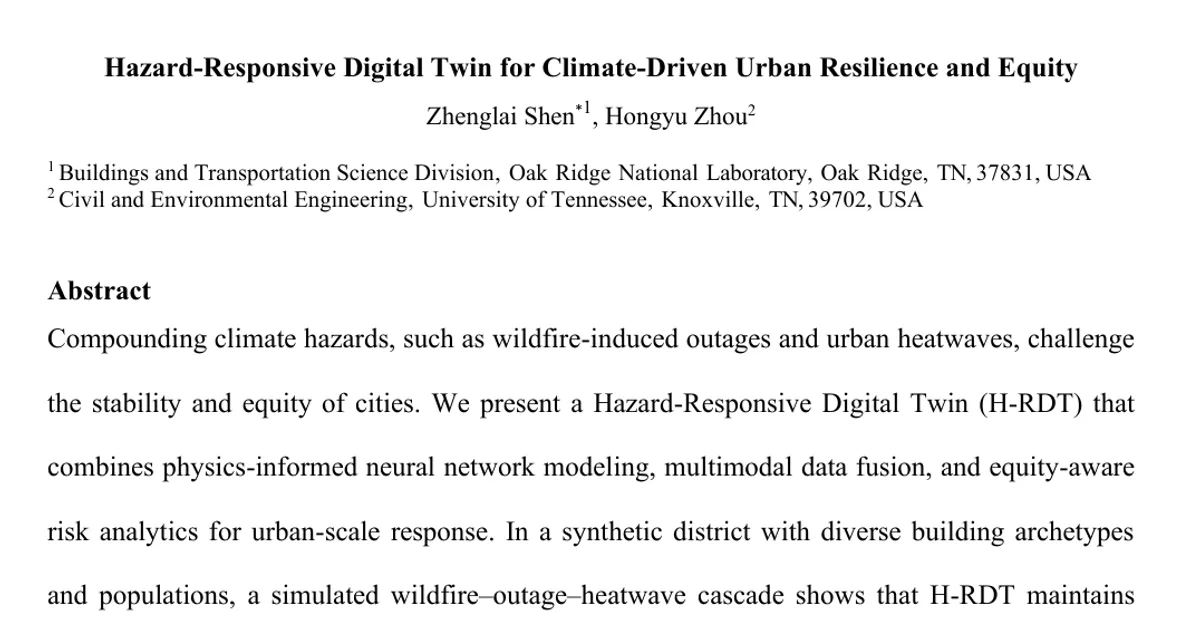
Compounding climate hazards, such as wildfire-induced outages and urban heatwaves, challenge the stability and equity of cities. We present a Hazard-Responsive Digital Twin (H-RDT) that combines physics-informed neural network modeling, multimodal data fusion, and equity-aware risk analytics for urban-scale response. In a synthetic district with diverse building archetypes and populations, a simulated wildfire-outage-heatwave cascade shows that H-RDT maintains stable indoor temperature predictions (approximately 31 to 33 C) under partial sensor loss, reproducing outage-driven surges and recovery. The reinforcement learning based fusion module adaptively reweights IoT, UAV, and satellite inputs to sustain spatiotemporal coverage, while the equity-adjusted mapping isolates high-vulnerability clusters (schools, clinics, low-income housing). Prospective interventions, such as preemptive cooling-center activation and microgrid sharing, reduce population-weighted thermal risk by 11 to 13 percent, shrink the 95th-percentile (tail) risk by 7 to 17 percent, and cut overheating hours by up to 9 percent. Beyond the synthetic demonstration, the framework establishes a transferable foundation for real-city implementation, linking physical hazard modeling with social equity and decision intelligence. The H-RDT advances digital urban resilience toward adaptive, learning-based, and equity-centered decision support for climate adaptation.