tools
Polycam
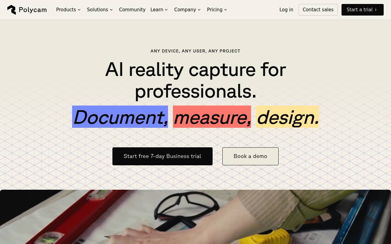
Polycam turns phone photos, LiDAR scans, and drone footage into 3D models, measurements, floor plans, and shareable captures.
In inglese
Polycam is a 3D capture platform for creating object models, Gaussian splats, interior scans, 2D and 3D floor plans, measurements, 360 photospheres, and aerial models. It supports photogrammetry, LiDAR capture, AI capture from a single image, and exports for design and CAD workflows.
It is used by construction, architecture, real estate, facilities, product design, forensics, and media teams. Floor plans, advanced measurement tools, team libraries, point-cloud exports, virtual walkthroughs, AI reports, and content-management API access require paid plans. Space Mode scanning requires a compatible iOS device.
Features
- Create 3D object models with photogrammetry
- Generate Gaussian splats from object captures
- Scan interiors with LiDAR and create 2D and 3D floor plans
- Generate a 3D model from one image with AI Capture
- Capture 360-degree photospheres
- Process drone footage into large 3D models
- Measure distances, areas, and interior spaces
- Export models, point clouds, floor plans, and CAD files
Use cases
- Document construction sites and existing building conditions
- Create floor plans and measurements for real estate listings
- Capture products, prototypes, and mechanical parts for design work
- Record forensic or insurance scenes with 3D models
- Share virtual walkthroughs with clients and project teams
- Process drone images for aerial and site-scale models
Pros
Cons
Capabilities
Get it
Security
Pricing
- Starting price
- $12.50/mo
- Prices checked
- 2026-09-24
Free
Free
- Limited space, object, and AI captures
- GLTF exports
- Public link sharing
Basic
- $150/year
- $12.50 / month
- $30 /month
- Unlimited object captures and Gaussian splats
- Unlimited space captures with and without LiDAR
- Unlimited AI generated captures
- 6 mesh export formats
- Private link sharing
Business
- $400/year per user
- $33 / month per user
- 2D & 3D floor plans
- Advanced measure tools
- Shared team library
- Point cloud exports
- Virtual walkthroughs
- AI generated reports
Enterprise
- $1200/year per seat
- Content management API
- Admin-controlled feature customization
- Enhanced data privacy
- Custom branding
- Folders with role-based management
- Dedicated customer success and support